Raster-to-vector conversion software
Convert raster images into DWG™ objects with the powerful vectorization tools of AutoCAD® Raster Design. Easily edit, enhance, and maintain scanned drawings and plans in a familiar AutoCAD environment. Make the most of raster images, maps, aerial photos, satellite imagery, and digital elevation models.
Features
Timesaving image display features
Use a wide range of image data with raster-to-vector conversion software. Embed images, insert and export images, and display image subsets with a polygonal mask boundary.
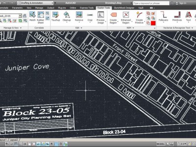
Image editing and cleanup
Despeckle, bias, mirror, and touch up your images.
Raster Entity Manipulation (REM)
Use standard AutoCAD commands on raster regions and primitives. Easily erase raster images, lines, arcs, and circles.
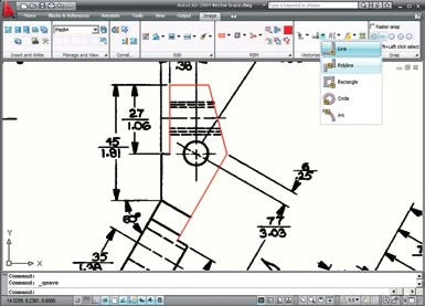
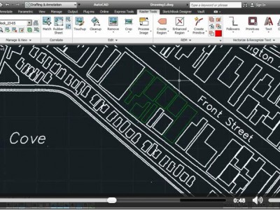
Vectorization tools
Create lines and polylines from raster images, and convert raster files into vector drawings.
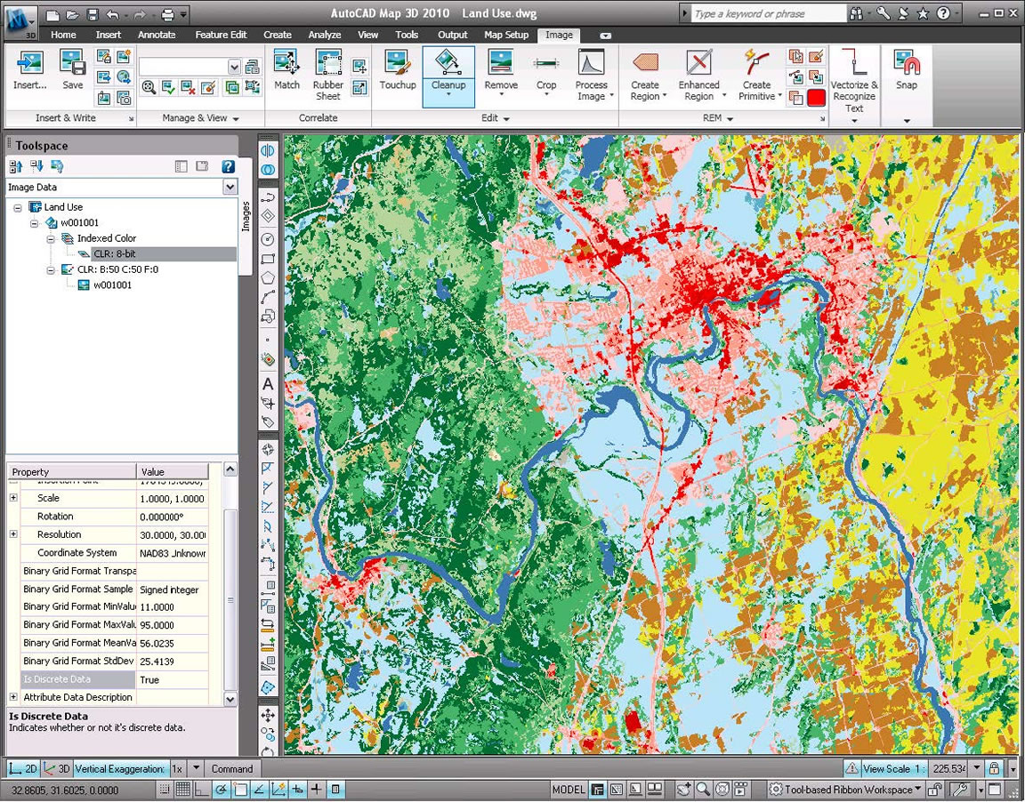
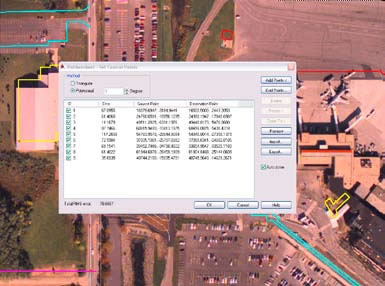
Image transformation functionality
Display and analyze geo-referenced images when AutoCAD Raster Design is used with AutoCAD Civil 3D civil engineering design software and AutoCAD Map 3D mapping software.